

3D Asset Mapping
Digital mapping of gas distribution infrastructures.
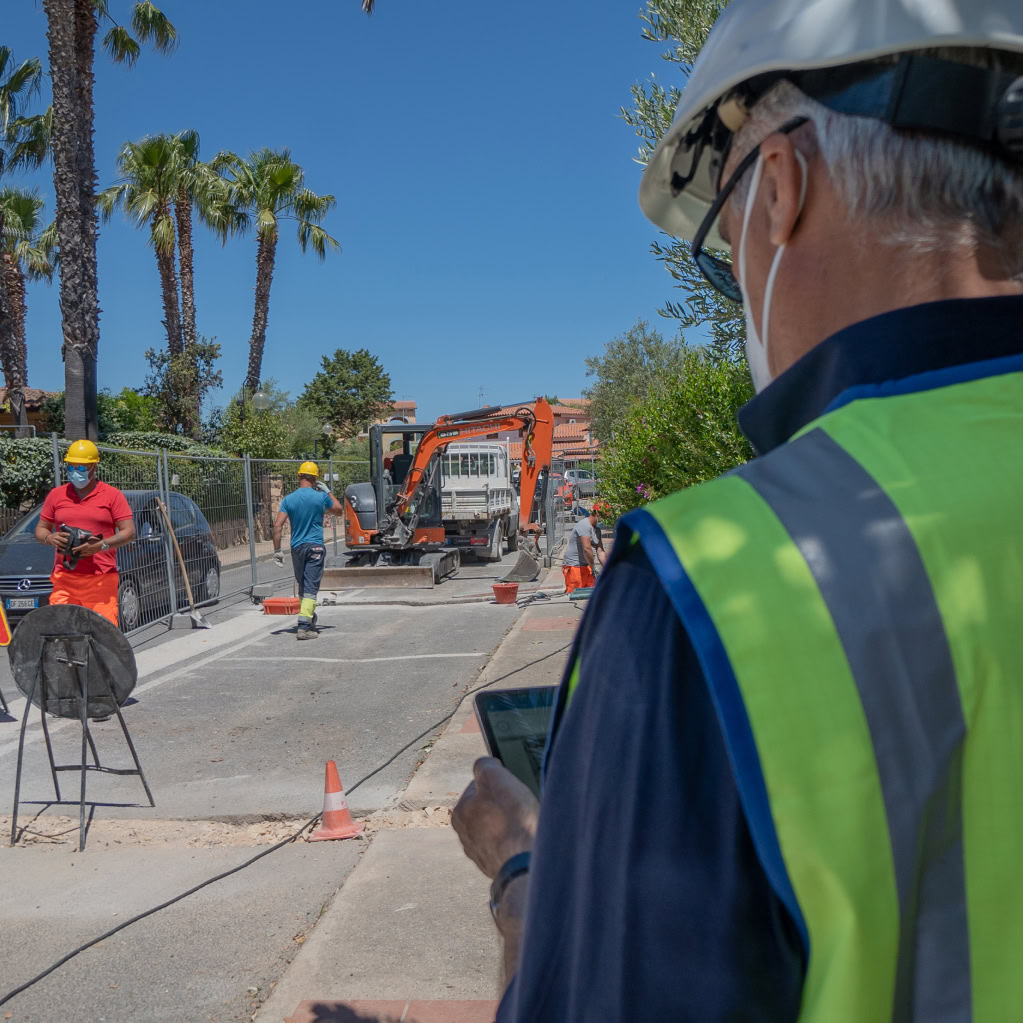
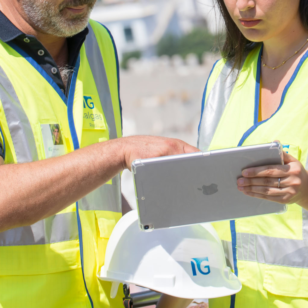
Digital detection of infrastructures above and below the road surface with real-time data collection
The “3D Asset Mapping” project represents a significant step towards innovation and digitalization of gas distribution infrastructures in Italy. With the adoption of advanced technologies such as Mobile Mapping LiDAR and Georadar GPR, Italgas aims to significantly improve efficiency, safety and service quality, offering tangible benefits to both local administrations and citizens.
Initial Implementation and Technologies Used
LiDAR, Georadar GPR, Georadar GPR on Cart for Pedestrian Use
The first phase of the project, which is expected to be completed by 2025, will involve over 120 municipalities distributed in regions such as Lombardy, Veneto, Piedmont, Liguria, Lazio, Molise, Calabria, Puglia, Basilicata and Sicily, covering a total of about 5,500 kilometres.
The Mobile Mapping LiDAR system scans the soil surface using high-resolution imaging sensors and high-speed lasers, collecting georeferenced spatial data that is transformed into detailed 3D models. The Georadar GPR mounted on a vehicle trailer can map the subsoil at a maximum speed of 60 kilometres per hour, detecting sub-services with centimetre precision up to a depth of 3 metres. For confined areas such as sidewalks and alleys, a GPR ground penetrating radar is used on carts for pedestrian use, used by a single operator to ensure precise mapping even in limited spaces.

The information collected by the various technological systems flows into a ‘data lake’. This data is then verified, analyzed and integrated into the company’s map maps, creating a “digital twin” of gas distribution infrastructure that provides a detailed digital reproduction of the entire infrastructure being monitored, including main pipes, user derivations and components above the road surface.
Project phases
-
Start of the Project that will involve over 120 municipalities
-
Surface mapping with Mobile Mapping LiDAR system.
-

Mapping underground with Georadar GPR vehicle trailer system
-
Mapping of restricted areas with Georadar GPR system on Cart for Pedestrian use
-
Creation of the "Digital Twin"
-
Monitoring and Visualization
Technological innovation is fundamental for the industrial development and improvement of Italgas' service. The introduction of "3D Asset Mapping" not only improves operational efficiency but also strengthens the security of the networks, ensuring a more reliable service and protecting the communities and territories served.
Pier Lorenzo Dell’Orco
CEO of Italgas Reti
The main numbers
-
municipalities involved
+120
-
total extension
5,500 kilometres
-
mapping depth
3 meters
-
Mapping Speed
60 km/h